IMD Monsoon Alert — 5 Big Weather Risks Ahead
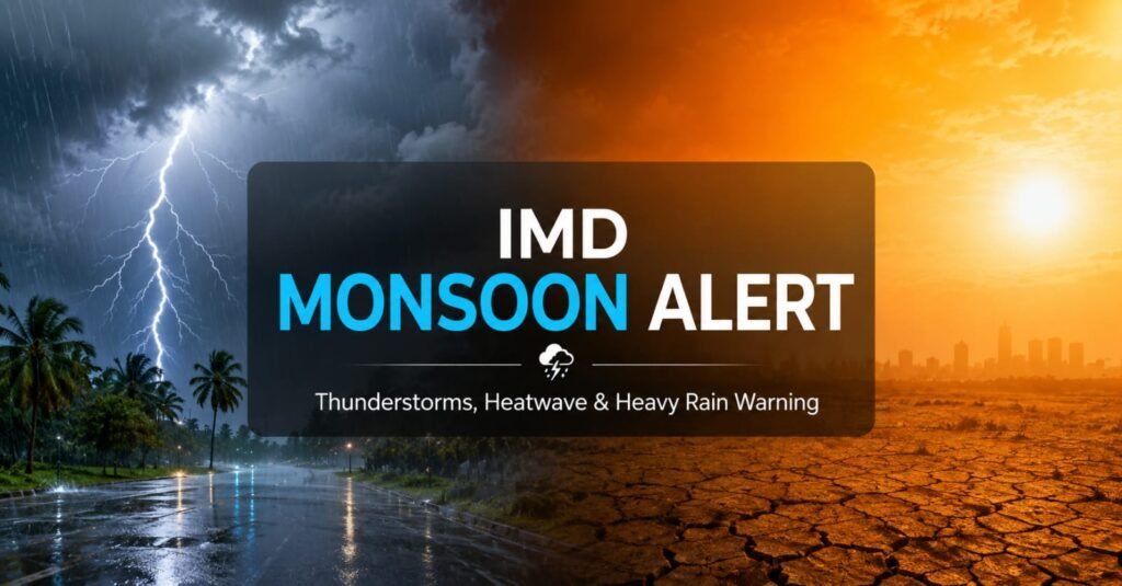
IMD Monsoon Alert signals that the southwest monsoon is expected to reach Kerala between May 28 and June 4, while dangerous thunderstorms and heatwaves intensify across India.The unstable weather pattern is being driven by Western Disturbances, cyclonic circulation, and moisture-laden winds.For residents and travelers, this means possible travel disruption, power outages, and rising health risks over the coming days.
Key Highlights
What Is Happening With the IMD Monsoon Alert?
The India Meteorological Department (IMD) has revised its monsoon outlook after updated atmospheric analysis showed a slightly delayed onset over Kerala. Earlier forecasts hinted at an early arrival, but the latest assessment places the expected window between May 28 and June 4.
At the same time, the IMD Monsoon Alert has expanded across several states due to severe weather activity. Thunderstorms, lightning, hailstorms, and heatwave conditions are affecting northern, central, and eastern India simultaneously.
Pre-monsoon showers have already intensified over Kerala and parts of southern India. Northern plains, however, continue to face unstable weather driven by dust storms and sudden wind activity.
Why Has IMD Issued Orange and Yellow Alerts?
Cyclonic Circulation Over Northwest India
A cyclonic circulation over central Pakistan and adjoining northwest India is interacting with moist easterly winds. This atmospheric clash is triggering severe thunderstorms and lightning activity.
Western Disturbance Impact
Active Western Disturbances are colliding with extreme surface heat across the plains. The interaction is producing hailstorms, gusty winds, and sudden heavy rainfall.
Extreme Heatwave Conditions
Large parts of central and eastern India are witnessing dry winds and clear skies. These conditions have pushed temperatures beyond 45°C in several districts.
Advancing Moisture From Arabian Sea
Moisture flow from the Arabian Sea is strengthening over Kerala and coastal regions. The IMD Monsoon Alert suggests this could support faster monsoon advancement during early June.
How Will These Weather Warnings Impact India?
The ongoing weather instability is affecting transport, tourism, agriculture, and public health across multiple states. Authorities have advised residents to avoid unnecessary travel during thunderstorms and intense heatwave periods.
The IMD Monsoon Alert is also important for farmers and commodity markets because rainfall timing directly impacts sowing activity and crop planning. Sudden hail storms may additionally damage standing crops in vulnerable districts.
What Are Experts Saying About the Monsoon and Heatwave Situation?
Weather experts believe the southwest monsoon remains broadly on schedule despite the short delay in Kerala onset expectations. Meteorologists say the current combination of heatwaves and thunderstorms is a typical transition phase before full monsoon expansion.
Analysts are also closely tracking the IMD Monsoon Alert because monsoon performance directly affects India’s food inflation, rural demand, and agricultural output. A stable rainfall season remains critical for economic stability.
What Should People Watch Over the Next Few Days?
FAQ
Conclusion
India is entering a volatile transition period between peak summer heat and the advancing southwest monsoon. Thunderstorms, hailstorms, and heatwaves are expected to continue in several regions over the next few days. The official Kerala monsoon onset will remain the biggest trigger for broader weather movement across the country. Follow for daily weather updates and share this with fellow travelers and residents.
Disclaimer: This article is published for informational purposes only. Readers are advised to verify details from official sources before making any decisions. The website is not responsible for any loss or damage arising from the use of this information.